As we steered out of Reed Point Marina and into Burrard Inlet a gentle wind began to fill in. I encouraged my new-to-sailing crew to talk to each other as they readied the boat and set the sails, making sure no step was missed and that everyone knew what was happening. Eight of us had organized a woman’s sailing weekend aboard two of Barnett Sailing Coop’s six Catalina 27s. With four of us on Tinker Toy and four on Mookie, the mood was decidedly celebratory as we stowed lines and fenders, turned off the outboards and started to sail.
Then, just before turning into Indian Arm, Tamiko asked the four of us on Tinker Toy if we’d mind embracing a slightly different feeling. We were entering Say Nuth Khaw Yum Park (aka Indian Arm Park), part of the traditional territory of the Tsleil-Waututh Nation, and she wanted to recognize that fact. So, sitting on the bow, Tamiko greeted the landscape as we made our entry into the mouth of the steep-sided glacial fjord. Speaking in the ancient Halkomelem language, she acknowledged that the inlet’s traditional people (Tsleil-Waututh translates to The People of the Inlet) were still very much present and providing active stewardship over the heart of their ancestral land.
Say Nuth Khaw Yum Provincial Park/Indian Arm Park is managed collaboratively by the Tsleil-Waututh Nation and the Province of British Columbia. At its entry you pass the ancestral village sites of Whey-ah-wichen (which means “facing both directions” and “facing the wind”) located in what’s now known as Cates Park and təmtəmíxʷtən (meaning “lots of land”), the primary winter village that was located in present day Belcarra Park.
Knowing this small amount of history subtly changed my perception of our weekend sail. Until now I’d been thinking that the convenient location of Indian Arm—adjacent to the city of Vancouver and extending due north from Burrard Inlet—made it an easy, but not very exciting, getaway. But knowing that not that long ago the region was home to fortified villages, filled with people who relied on an intimate knowledge of the seasons, tides and currents to harvest salmon, herring, clams and mussels as well to hunt beaver, black bear, wapiti (elk) and mountain goat, helped me feel the vast wildness of the place.
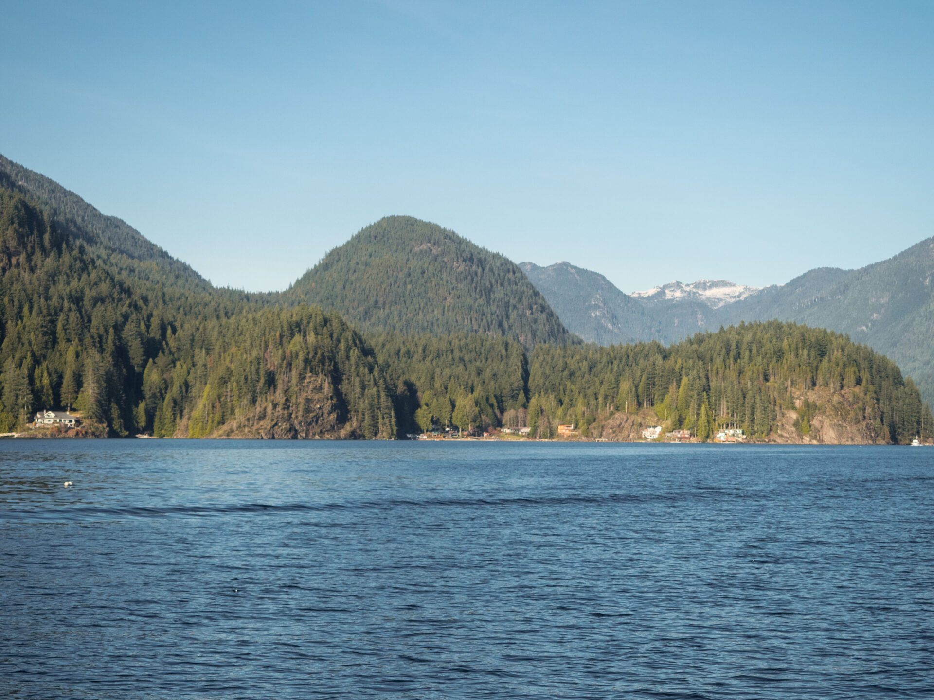
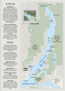
As the afternoon breeze strengthened and we scooted further up the inlet we passed anchored boats, luxury waterfront homes and construction sites. Keeping an eye on the chart we worked our way past one of the fjord’s only hazards: the shoals around Raccoon Island. And then suddenly the roads ended and all we saw were small cabins, boats and kayakers and velvety green snowcapped mountains: we’d reached Say Nuth Khaw Yum, the “Serpent’s Land.”
When we first set off, our crew was uncertain if we’d make it the entire 14.5 miles from the marina to the head of the inlet before we needed to turn back and head for our planned overnight anchorage in Bedwell Bay. None of us had ever been all the way up to Indian River, and while we were eager to see it, our primary goal for the day was to sail. As anyone who travels our waters by boat knows, inlet travel can be hit or miss. Too often the winds end up in your face impeding progress, or are nonexistent. Happily both the wind and current were in our favour and we made steady progress in moderate winds.
Just after passing Twin Islands, the fjord narrows and soon we reached the Francis Rattenbury or Robert Lyon designed BC Hydro powerhouses (there’s a debate as to who gets credit). Buntzen No. 2 comes first. Built in 1914 the gothic-looking building has appeared in a range of horror movies including It, a 1990 mini-series based on the Stephen King novel where both that derelict building and the 1903 Buntzen No. 1 are cast as a lair for Pennywise the Clown. In reality the stations were built to provide hydroelectric power to Vancouver’s streetcars; and rusty old penstocks still direct water down from Buntzen Lake. Powerhouse No. 2 was shut down in the ‘50s and Powerhouse No. 1 was modernized and automated, continuing to be BC’s oldest functioning hydroelectric power plant.
This part of the inlet is also marked by steeply-sloped forests of western mountain hemlock, western red cedar, Douglas-fir, yellow cedar and red alder, and the water plunges to depths reaching 200 metres. As we sailed, we saw several seals and a few eagles and kept a careful eye out for black bears, which are said to frequent the shoreline.
Archaeological sites are also found in the area—including dozens of red-ochre paintings (pictographs). I had hoped to search for the ones found on the southern end of Croker Island and on the cliffs just southwest of the island but as we got deeper into the fjord the afternoon breeze grew stronger and more exhilarating. It looked like sightseeing would have to wait for a more subdued day.
As we reached the Indian River Estuary we encountered two of the inlet’s highlights. There was the 50-metre high Granite Falls and the Wigwam Inn. The Wigwam was designed by Sholto Smith and opened to great fanfare in 1910, when it was serviced by four different sternwheelers. During its first brief heyday it attracted guests like American millionaires John D. Rockefeller and John Jacob Astor, but German owner Alvo von Alvensleben, who built the resort to be a Luftkurot (fresh-air resort), left Vancouver during the First World War, and the government seized it in 1914.
After that the Inn changed hands many times, re-emerging in the public eye in the 1960s when the notorious William “Fats” Robertson and Rocky Myers turned it into an illegal gambling and drinking operation. The Royal Vancouver Yacht Club finally bought the Inn in 1985, refurbished it and turned it into a members’ only club.
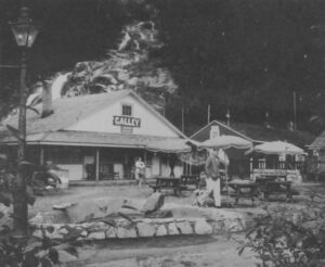
Like the Wigwam Inn, Granite Falls today is not all it appears. In the past, the popular wilderness camping spot was the site of a huge rock quarry, and stone from the area was used to construct many of young Vancouver’s buildings around the turn of the century. Later the Granite Falls Resort was built on and around the falls and many Vancouverites can recall spending a day or more exploring the suspension bridge and viewpoints.
We tacked between the falls and Wigwam Inn, pondering how easily history can be lost and obscured, but then, as the wind shifted, it was time to head back down the inlet. The return voyage was even quicker than the trip up. The tide had changed and once again we had the current with us. My crew had plenty of opportunity to practice steering and sail trim as the wind gusted and twisted around bends and down the mountains.
The sunny weather had lured lots of people onto the water and we started to worry about how busy Bedwell Bay might be. Although the big U-shaped bay is open to northerly outflow winds from Indian Arm, it’s typically a calm anchorage with good holding in mud. As one of the only sheltered anchorages in Indian Arm, it can get crowded and as this was the first time I’ve anchored one of the club boats I wanted to get the hook down in a roomy spot.
Looking at the chart we saw the far south end of the bay had a 30 to 50-foot mud bottom—but when we arrived it looked full. Instead we drove around the northwestern edge where a few boats were rafted and stern-tied and we found a nice space in 35 feet.
Like much of Indian Arm, Bedwell Bay’s history is well disguised. A careful look at the chart does offer a few clues though. The bay is resting place to a surprising number of wrecks including the YMS-159 Minesweeper; the Western Dispatcher, a 110-foot wooden-hulled submarine-chaser; and the SS Amur (aka SS Famous), which was a steel freighter built in Sunderland, England, in 1890. Most vessels ended up here when the bay was used as a shipping boneyard. Entire fleets were mothballed into “ghost fleets” up and down the BC coast and one of the largest of these fleets was located here.
Nature seems to be doing her thing and the reclaiming of the once industrial bay is well under way. As we settled in for the evening, Tamiko dove into the clear water for a quick and refreshing swim while Jan and Shauna fired up the barbecue. Wine was poured and the boat rocked gently with the shifting tide.
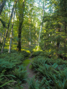
In the morning we’d head off for a long walk on shore before sailing back to Reed Point and our modern lives. But for now we were caught in that serene place, found somewhere between the past and present, where only a good day on the water can take you .
