
After spending the past week visiting some of our favourite anchorages in the Gulf Islands, we wanted to squeeze one more day in before heading home. The weather was beautiful with a northwest breeze, so we set a course for Portland Island, located less than five miles north of Sidney. The plan was to anchor in Princess Bay, located on the southern end of the island. Over the years we have anchored all around the island and explored nearly every inch of this marine park on foot.
Although, we have witnessed knowledgeable boaters enter Princess Bay (once known as Tortoise Bay) using the south entrance between the Tortoise Islets and Hood Island, we prefer the approach north of the Tortoise Islets and the larger unnamed island with the cabin on it. We also favour anchoring west of the unnamed island in two to three metres of water for the best protection from weather and the wash from the occasional ferry passing south of Portland Island. The head of the bay shoals quickly and the sea floor is covered with sea growth. Once the anchor was down, I slipped Easy Goin’ into reverse and pulled on the rode to ensure a solid hookset in the mud.
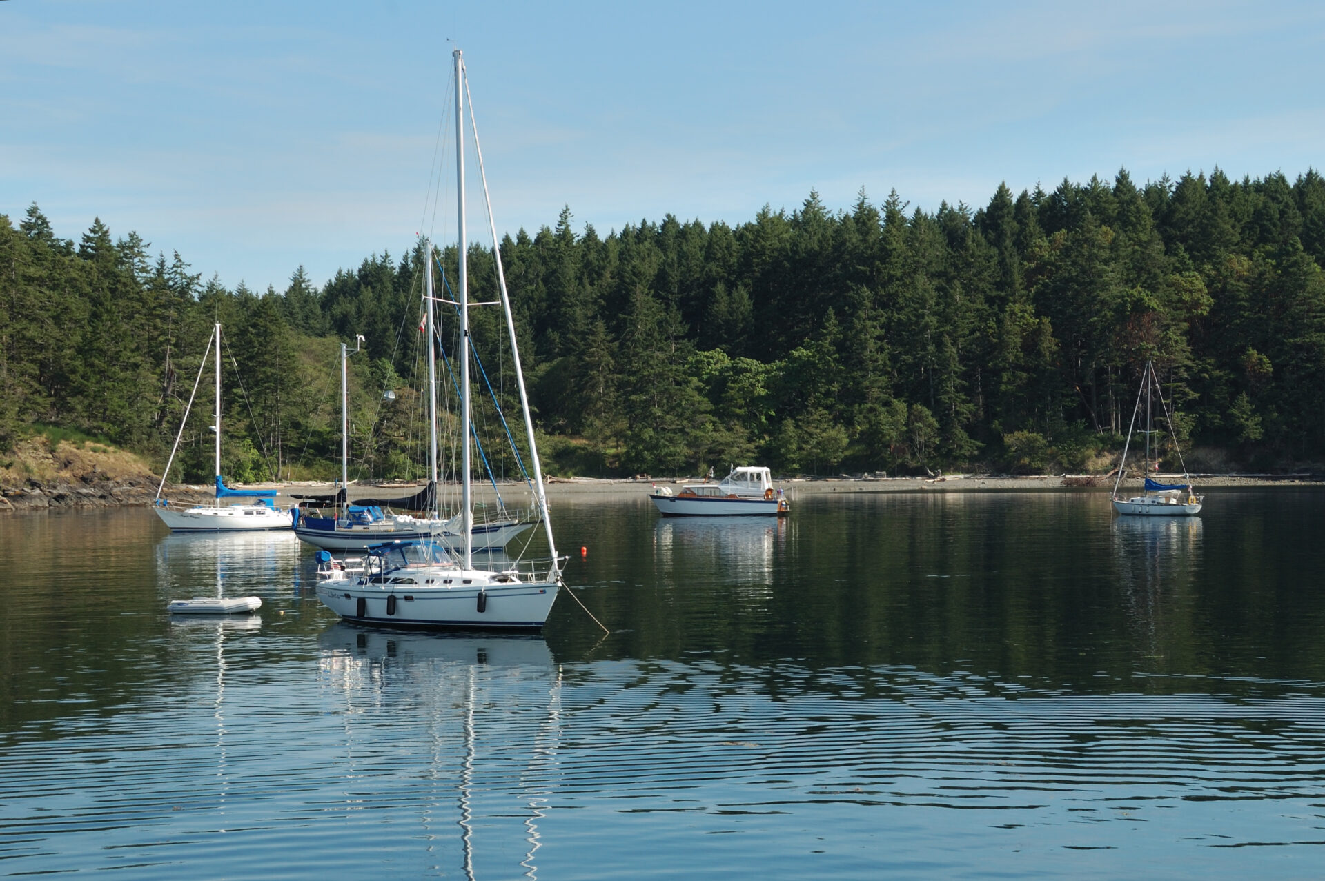 The anchorage at Princess Cove.
On previous visits we have anchored in Royal Cove on the island’s northwest side. It offers an unobstructed entrance from the north, protection from the northwest by Chad Island and decent holding in two to four metres over a sand and kelp bottom. This is the island’s preferred hidey-hole in a southerly breeze, but it is fairly exposed to regular ferry wash. If you choose to anchor in Royal Cove, it’s best to tie a stern line to shore to limit swing and keep your bow pointed into rolling ferry wash which enters the anchorage from the north. A dinghy dock provides easy access to the trails and amenities of the island.
For the adventurous, there is another anchorage off the east side of the island, just to the northwest of the Pellow Islets, and another west of Turnbull Reef. To enter both, attention must be given to the tides and careful pilotage is required to avoid numerous rocks and shoals.
To the west of Portland Island lies the ecological reserve of Brackman Island. Several rare plants reside here, and the island has been deemed off limits as part of the Gulf Islands National Park Reserve.
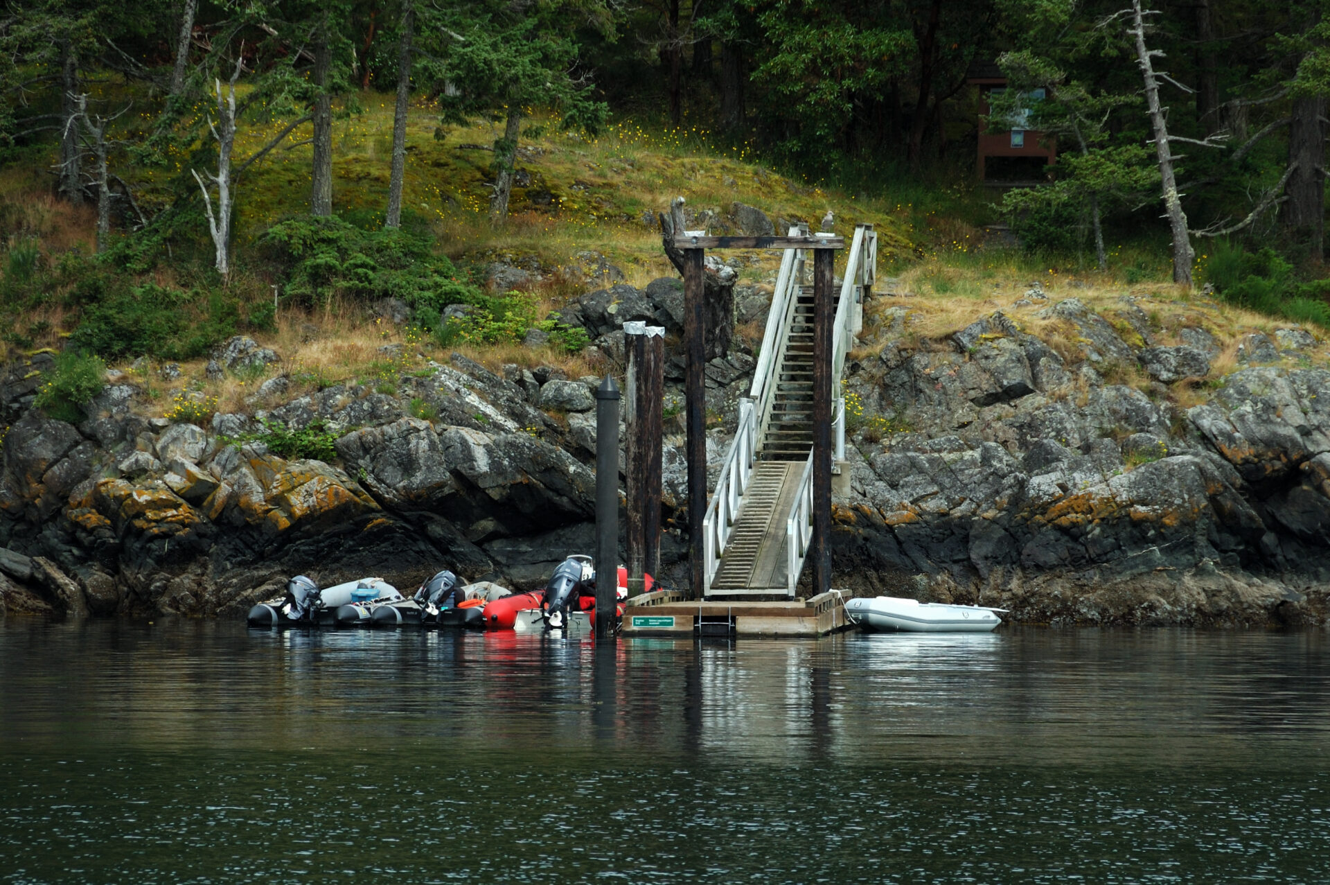 Dinghy docks at both Princess and Royal coves make shore access easy.
Portland Island was once the site of a First Nations Village, but now the shell midden beaches that ring the island are the most visible reminder of their presence. In 1859 Captain G.H. Richards of the HMS Plumper, named the island after the flagship of the Rear Admiral Fairfax Moresby, the HMS Portland. The island was settled by Kanaka (Hawaiian) immigrants in the late 1880s. In 1927, retired Major-General and businessman Frank “one arm” Sutton bought the island with plans for development. Sutton lost part of an arm to a hand grenade at the Battle of Gallipoli. Sutton’s dreams were crushed with the crash of the stock market in 1929. The island was presented as a gift to Princess Margaret in 1958 to commemorate her visit to the province. In turn, she returned the island to British Columbia as a provincial park in 1967. Today, the entire 226.7-hectare island is a part of the Gulf Islands National Park Reserve of Canada.
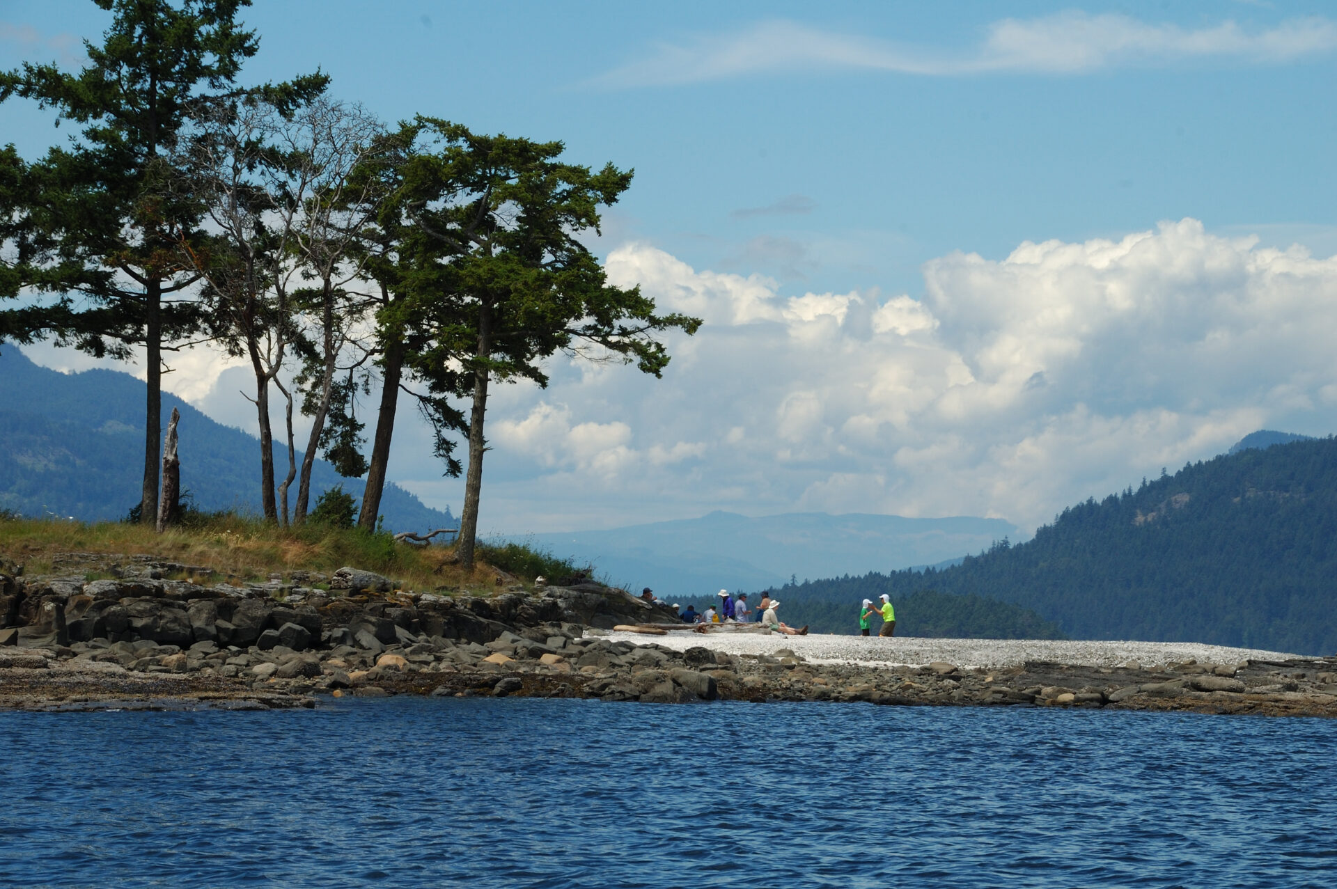 Midden beaches ring the island.
Near both main anchorages and on the west side of the island are 24 backcountry campsites and outhouses.
After Easy Goin’ was settled and we enjoyed some lunch, it was time to exercise our sea legs. For access to the island and the island’s trail system there is a seasonal dinghy dock on Princess Bay’s northwest shore. As we walked up the dock ramp, we noticed a river otter on the rocks napping in the warm afternoon sun.
It takes about 30 minutes to hike across the island between the two main anchorages, but for us the more interesting trail is the 6.5-kilometre trek that follows the shoreline around the whole island, about a three-hour hike. Along the way there are sand beaches, a shell tombolo, enclosed beaches and sandstone headlands. There are also interpretive signs that share the history of the island.
Along the shoreline, Garry oaks and arbutus are the dominant forest cover while alders, Douglas fir and maple trees make up the island’s thick interior forest.
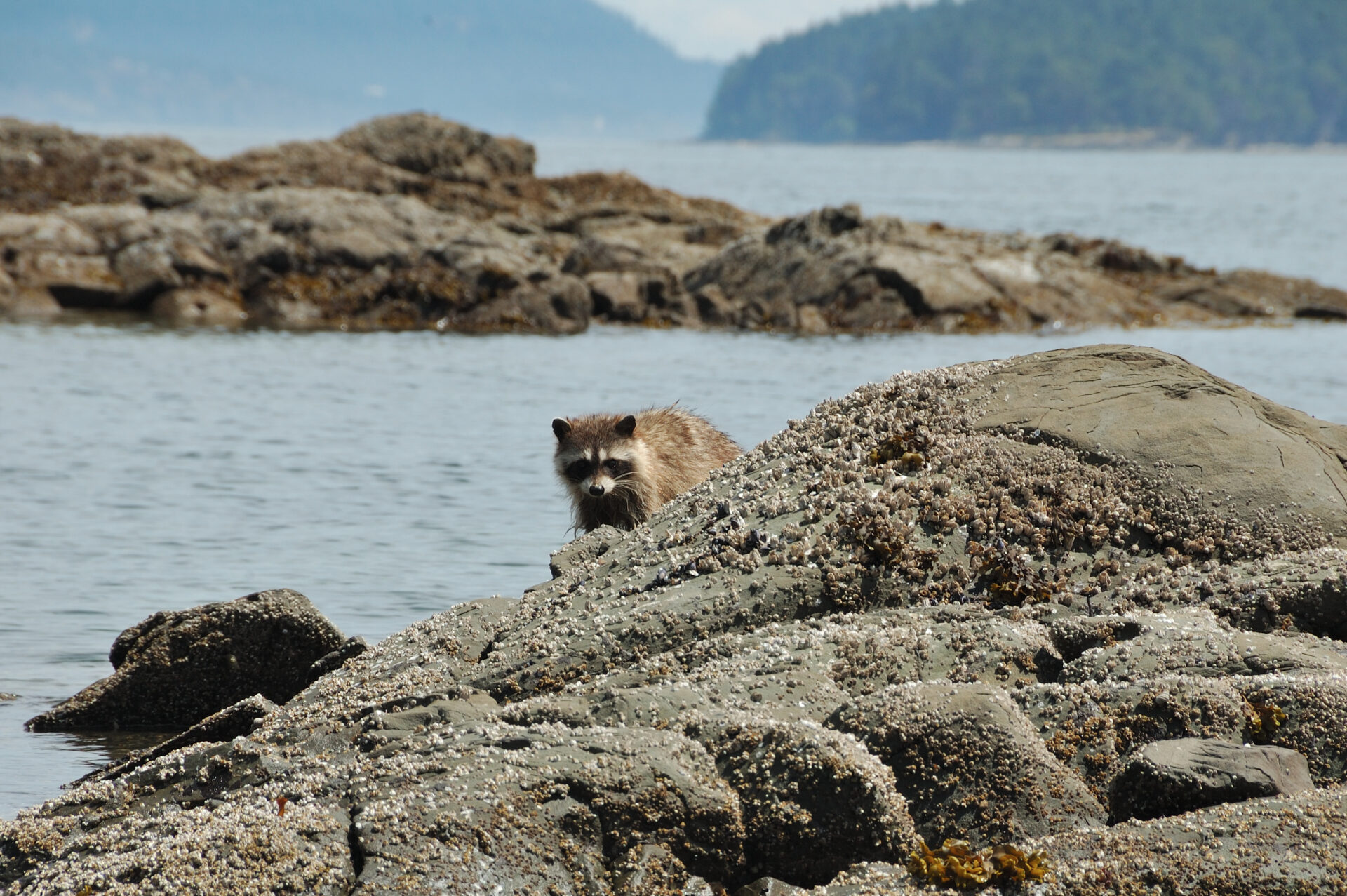 Raccoons, aka, furry bandits…
On our hikes we have encountered river otters and raccoons swimming near the shore and scampering across beaches and rocks, the occasional blacktail deer, mink, bald eagles, oystercatchers, redtail hawks, great blue herons, turkey vultures and even osprey. The raccoons are resourceful and brazen, so Parks Canada has installed food caches where campers and visitors can safely stow their food items away from the masked bandits who will often be found hanging around the campsites.
Back aboard after our hike, it was time to relax and enjoy our final afternoon and evening in the Gulf Islands. It had been a wonderful trip and as we enjoyed our beverages of choice, we thought, “what’s one more day?”
When You Go
Location: 48.43’0 N, 123.22’0 W
Chart: 3462
Gulf Islands National Parks Reserve: pc.gc.ca/en/pn-np/bc/gulf/index