
Editor’s Note: The July 2017 issue of Pacific Yachting featured an article titled A Half Dozen Favourite Puget Sound Anchorages, which is now posted online here. This piece discusses an additional six anchorages to explore and enjoy when visiting Puget Sound.
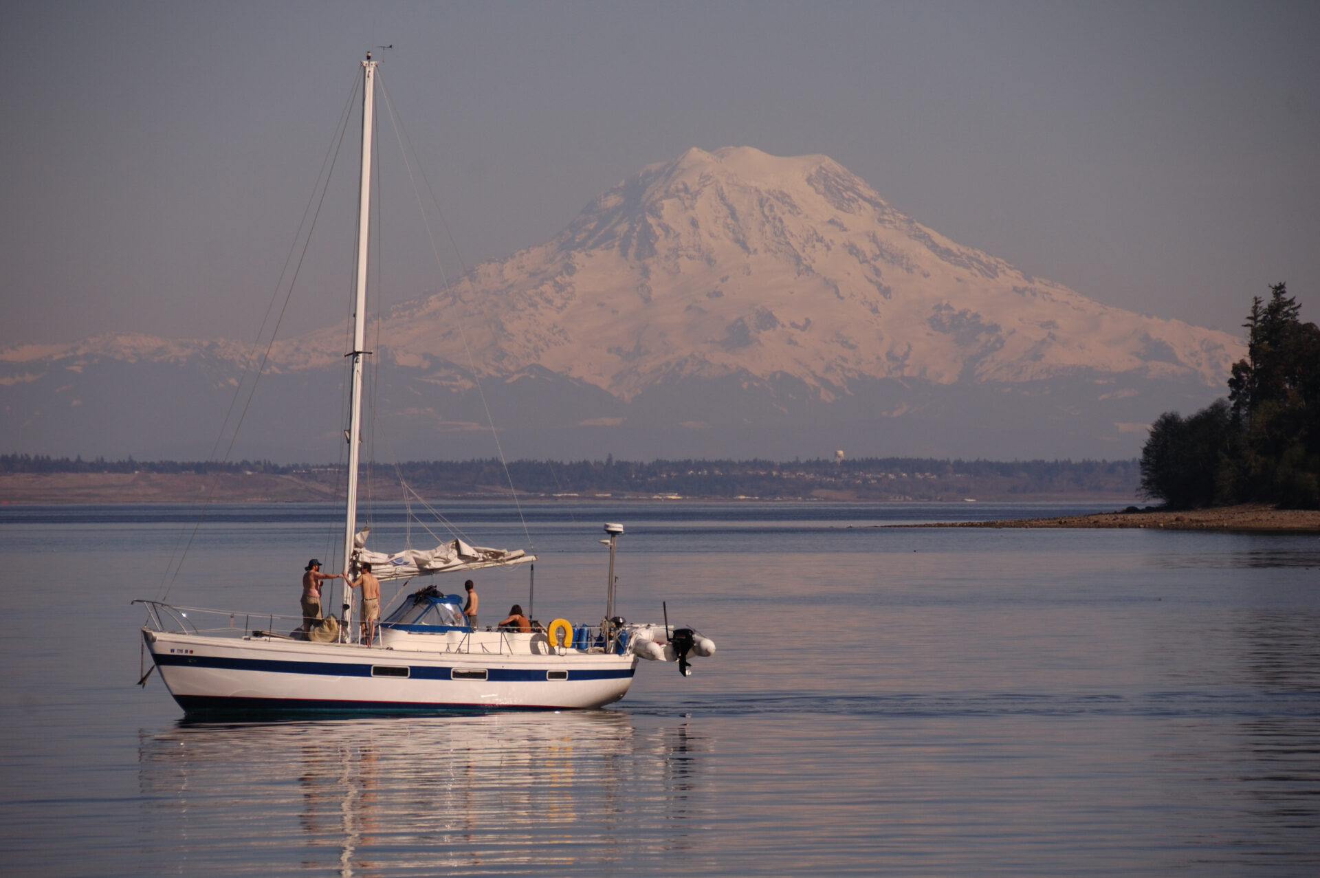
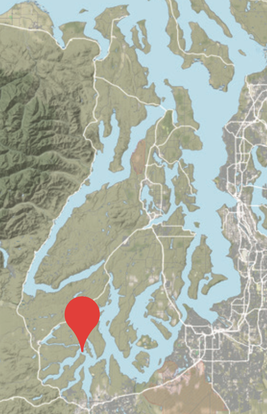
With Mount Rainier towering over Washington State’s Puget Sound, the snow-capped Olympic Mountains stretching north and south to the west and the volcanic cone of Mount Baker to the north, the views are spectacular from the deck of any vessel. The abundance of protected anchorages in the “sound” (as locals call it) allow boaters to cruise for days without doubling-up on an anchorage.
Puget Sound is the third largest estuary in the United States, after the Chesapeake and San Francisco bays, and is defined as those waters south of three entrances. The main entrance is located at the southern end of Admiralty Inlet. The second being Deception Pass, and the final entrance is the southern end of the Swinomish Channel.
Puget Sound wanders south approximately 110 miles from Deception Pass, between 23 islands, to the state’s capital of Olympia. Tides range between three and four metres, producing currents reaching six knots in some of its passes and narrows.
Approximately two-thirds of the state’s population resides in the Puget Sound region and as a result, a vast majority of the sound’s 2,143-kilometre coastline has been developed with large metropolitan cities, small towns, marinas, industries and summer homes. Despite this growth, there are still some great, quiet gunkholing opportunities to be had. The protected waters, the serenity and the diverse activities each location offers entice us to return time after time. Here are six more of our favourite stops in our local stomping ground.
McLane Cove, Pickering Passage
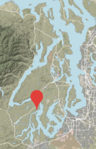
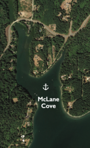
47.18’27” N, 122.51’74” W
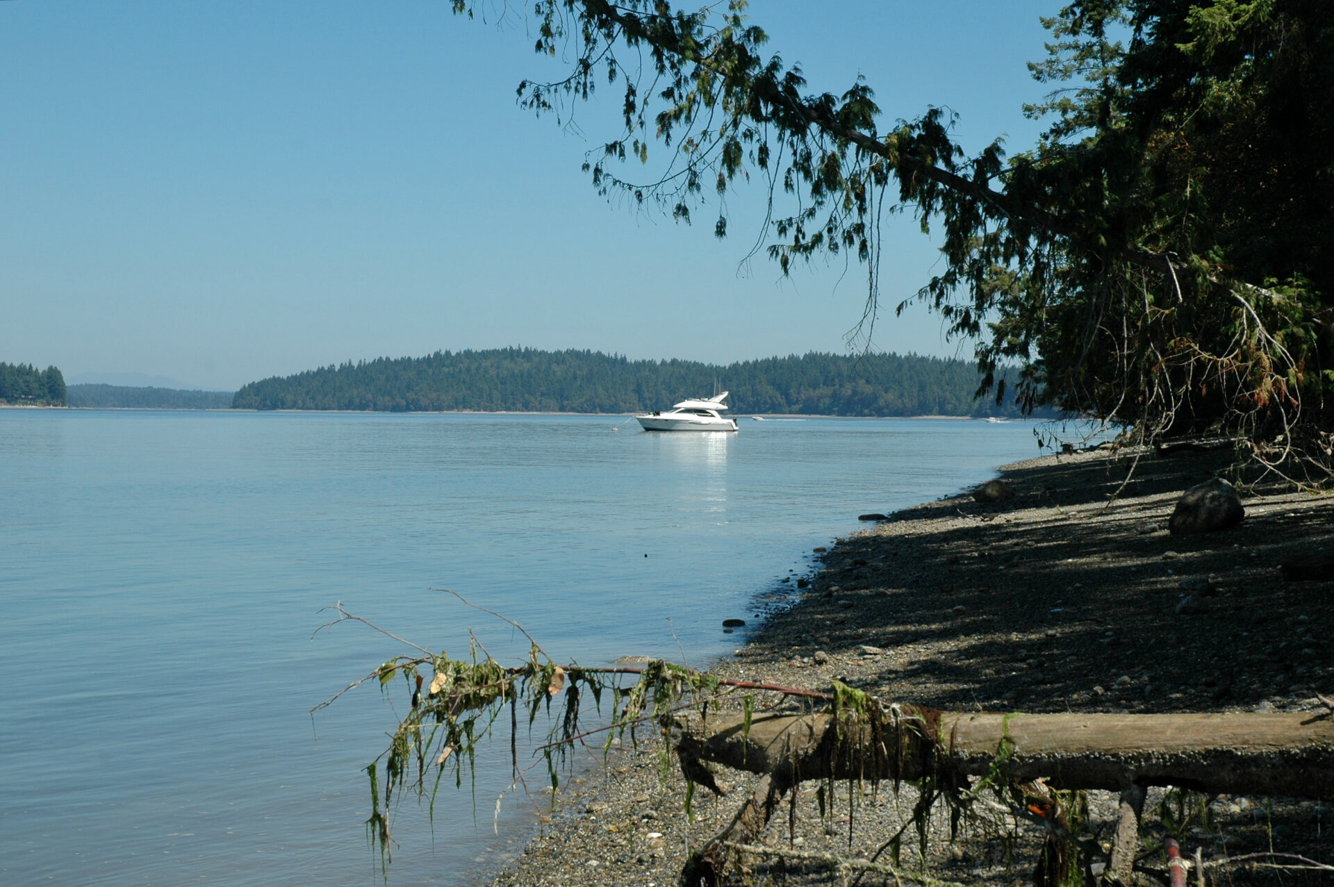
McLane Cove is located at the north end of Pickering Passage, a mile and a half northeast of popular Jarrell Cove on Harstine Island. The approach to this shallow cove is unobstructed, with deeper waters at the cove’s entrance. The shore is populated with modest homes but has a quaint, charming feel.
Upon entering the cove, you may see open buoys, but note that all buoys and tidelands are private. Anchoring is good and available wherever you find a spot. We like to anchor slightly west of mid cove in 12 feet of depth over a mud bottom to avoid the shoal along the eastern shore. The deeper in the cove, the better the protection. Once settled in this anchorage, the only thing to do is kickback, relax and watch the oyster barges transit Pickering Passage.
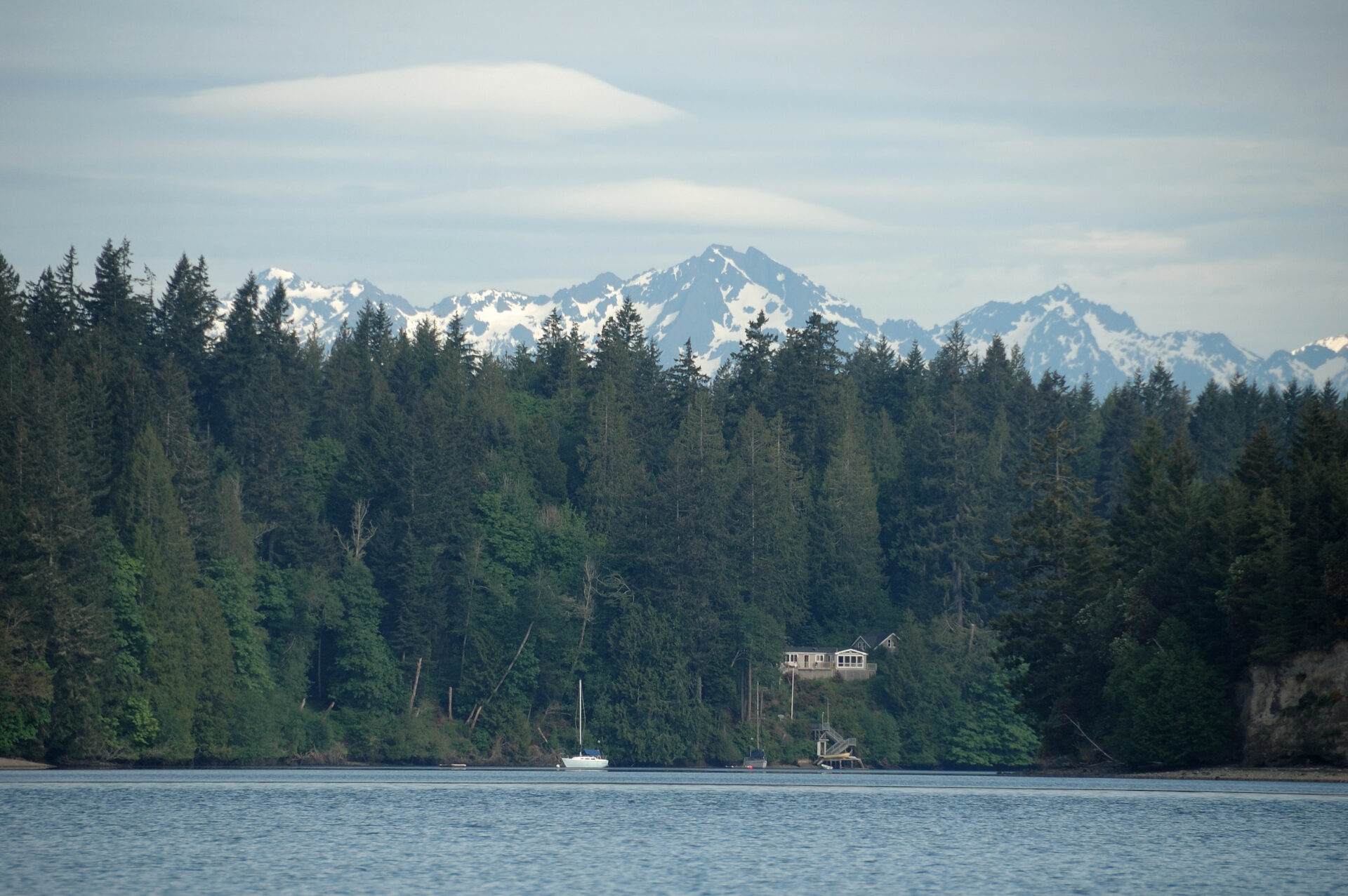 The view of McLane Cove from Pickering Passage.
Eagle Harbor, Bainbridge Island
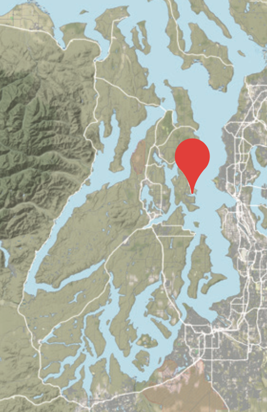
47.37’09” N, 122.31’10” W
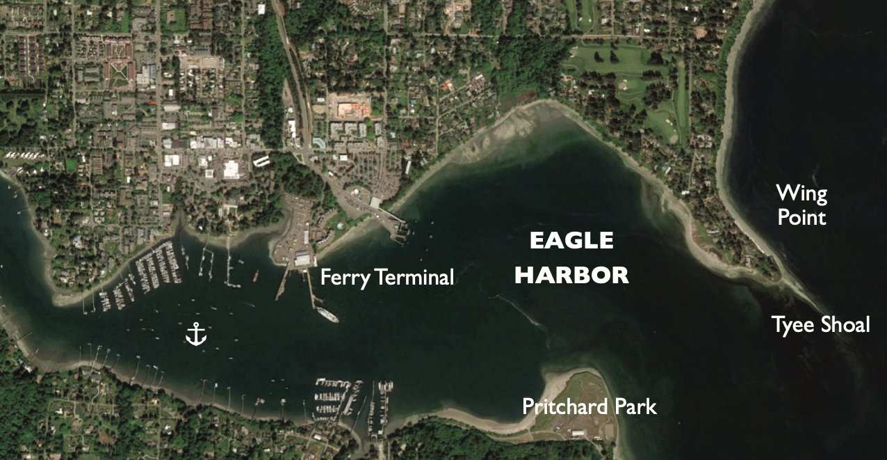
The adventure begins when approaching Eagle Harbor. Entering the harbour allows the captain to practice their navigation skills. Tyee Shoal extends off Wing Point crossing the harbour’s mouth so careful charting is essential. Once inside the shoal, skippers follow navigation aids into the harbour, but need to keep a keen eye on Washington State Ferries arriving and departing.
The harbour is well protected from most weather, and anchoring must be done outside the restricted zone located between Pritchard Park and the Bainbridge Island Ferry Terminal. Depths are good until the harbour bends northwest beyond the marinas. Soft spots have been reported; so make sure you’re firmly hooked. The best anchoring is in the middle of the harbour.
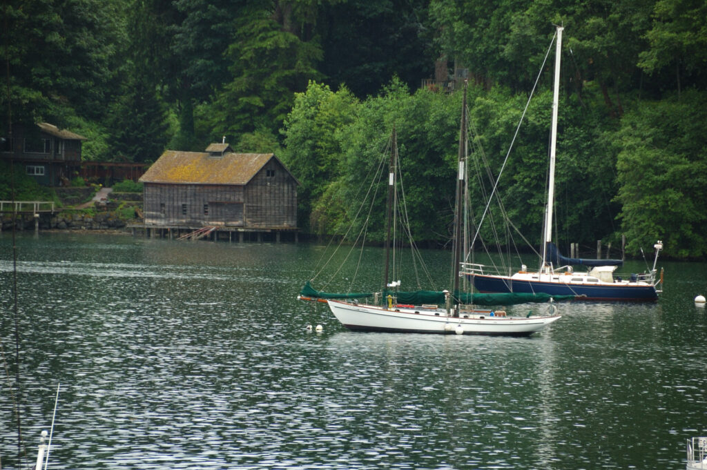 Tranquil and picturesque Eagle Harbor.
On sunny, clear days, a stunning view of the Olympic Mountains can be enjoyed from the deck.
Bainbridge Island was named after Commodore William Bainbridge, a naval captain in America’s first war with Tripoli (First Barbary War) and the War of 1812. The harbour was known by the Suquamish Native Americans as “home of the eagles.” They valued the bay for its natural beauty and abundant supply of salmon and shellfish.
For going ashore and sampling the island style of life, there is a public dock at Waterfront Park. The community of Bainbridge (previously known as Winslow) is an agreeable place to walk, browse, shop and hang out. It has an interesting mix of parks, eclectic shops and restaurants.
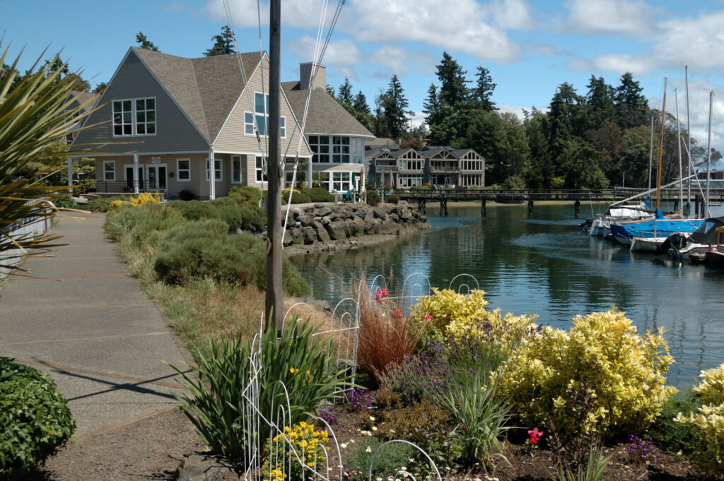 Eagle Harbor waterfront walk.
Liberty Bay
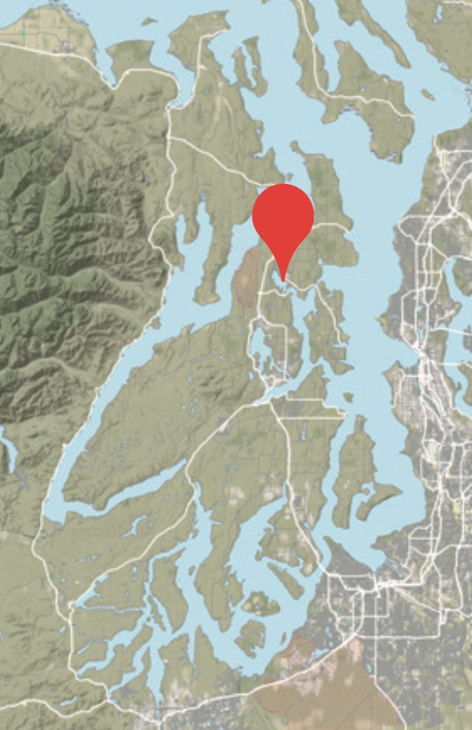
47.43’46” N, 122.39’14” W
This is a popular year-round anchorage with a soft, rural feel, with tidy homes along the shore and the picturesque Scandinavian town of Poulsbo at its head. The beautiful Olympic Mountains stand sentry to the west.
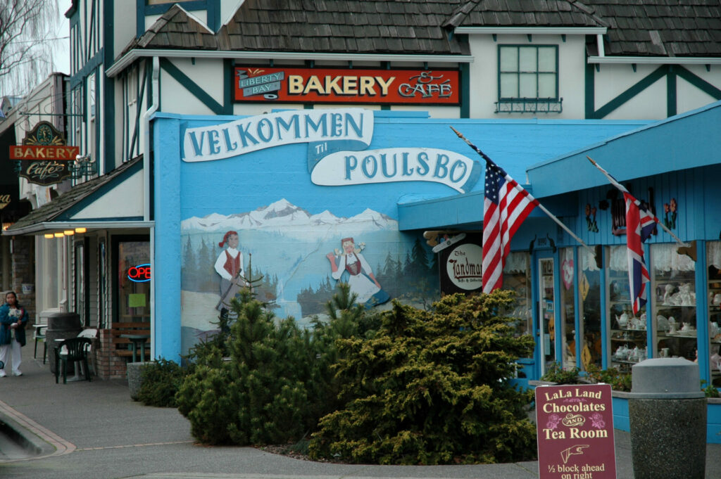 Poulsbo has a strong Norwegian flavour.
If coming from the north it will be necessary to transit Agate Pass, and if coming from the south you will enter through Rich Passage. It’s common to encounter swift currents in either pass, and even swifter Washington State Ferries can provide an additional challenge in the narrow portions of Rich Passage.
Navigating the passes is reasonably straight forward and obvious, but boaters failing to check the charts or careless about navigation markers might be unfortunately reminded that there are defined channels in both passes. So plan ahead and pay attention.
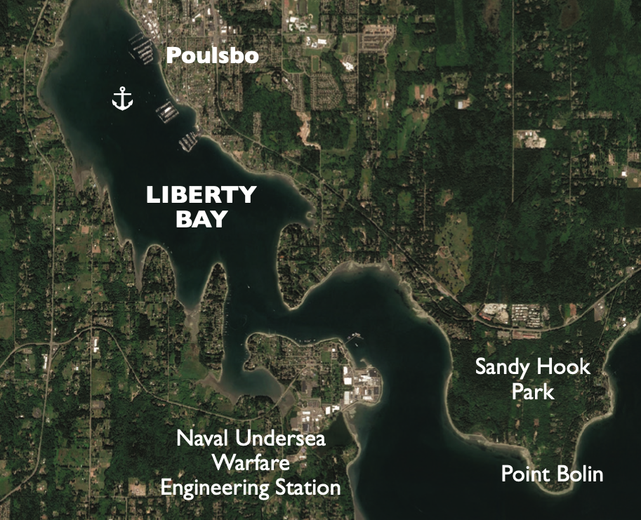
When headed south after exiting Agate Pass, there is a temptation to go down the visual middle of the waterway. Don’t give in to the temptation; the Point Bolin Reef extends east from Sandy Hook and reaches nearly to the middle of the channel. Red Buoy 6 marks the eastern tip of the reef. As you turn 180 degrees around Point Bolin to make your way up the narrowing channel to Keyport, it’s advisable to stay well offshore, as there are shoals south of Point Bolin.
When approaching Liberty Bay from Rich Passage, watch for the red light at the Naval Undersea Warfare Engineering Station. If flashing, stay clear of the testing range on the west side of Port Orchard. The entrance to Liberty Bay is east of the naval station. From the naval station to the head of the bay is a “no wake zone.”
Once through the bay’s narrow opening, Liberty Bay opens before you, looking very much like a large lake, and offers good holding over a mud bottom in 10 to 13 feet. For going ashore there is a dinghy dock at the Poulsbo Marina. The rock and mud shoreline make it unpleasant for a beach landing.
Poulsbo makes an engaging year-round getaway for boaters. The seaside village wears its Scandinavian heritage like a badge, from the white spire of the Lutheran Church on the hill above town to the brightly painted houses in town. The colourful village, friendly people, stores and boutiques, bakeries, restaurants, well-operated marina and long list of community events throughout the year are all part of the “Velkommen til Poulsbo.”
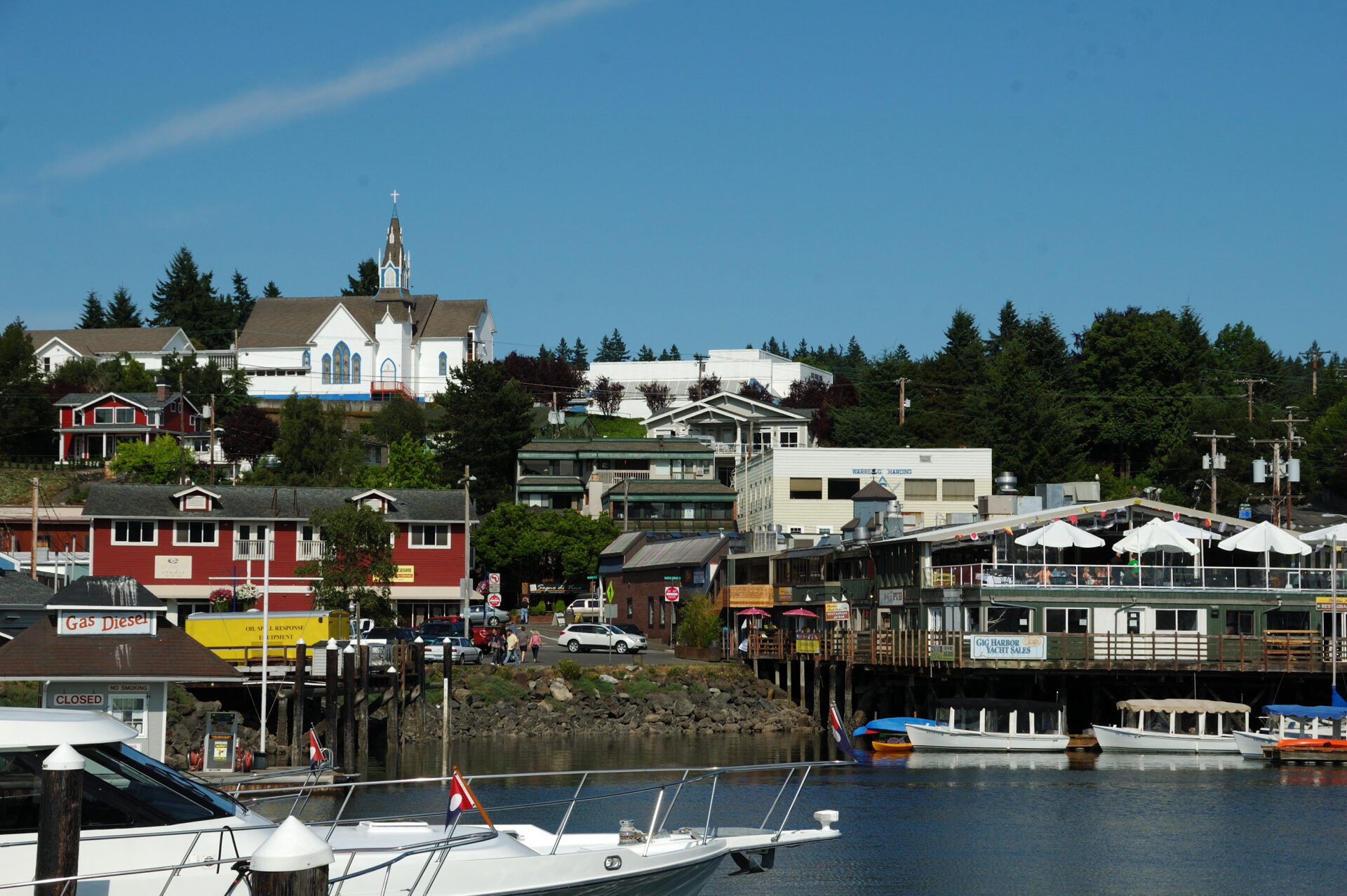 First Lutheran Church on the hill above Poulsbo is a welcoming landmark.
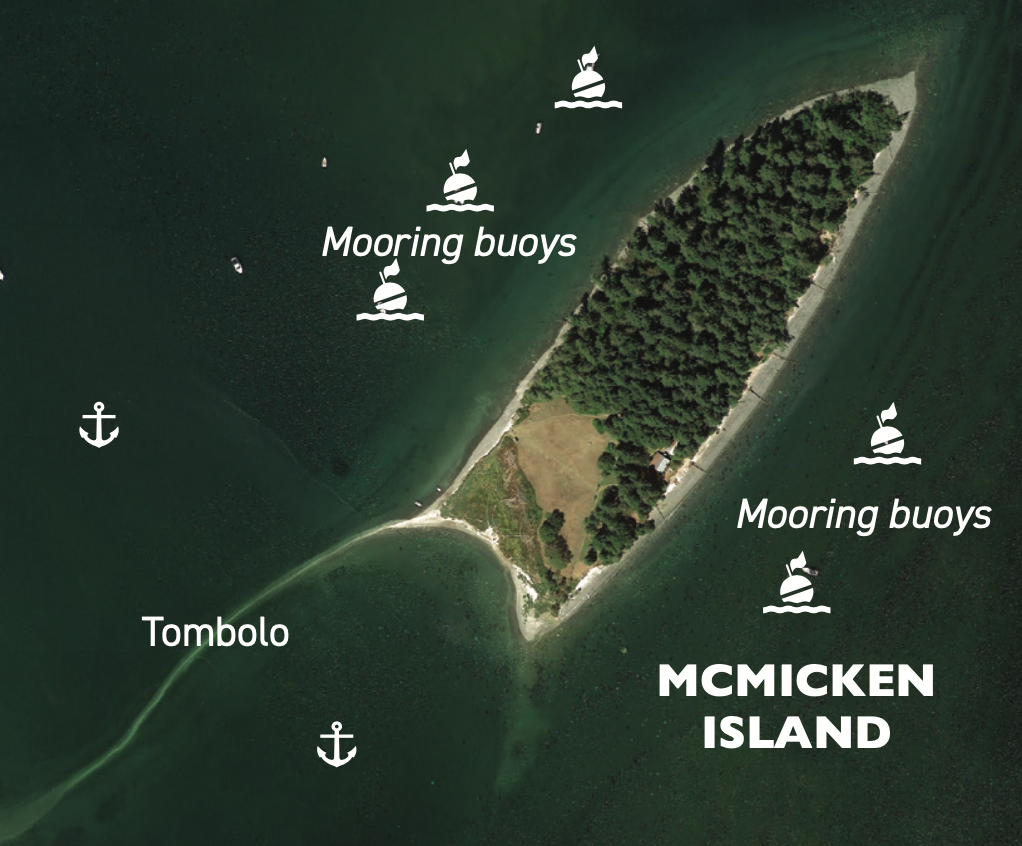
McMicken Island, Case Inlet
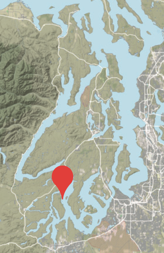
47.14’54” N, 122.52’01” W
McMicken Island lies in Case Inlet, south of the Tacoma Narrows and off the east side of Harstine Island. Most skippers time the passage through the narrows to take advantage of the slack current as it can reach six knots here.
The entire wooded 222-acre island is a Washington State Marine Park. There are a handful of state mooring buoys spread between the north and south sides of the island. If the buoys are taken no problem, the tranquil cove created by Harstine Island, McMicken Island and the sand and gravel tombolo between the two makes a wonderful location to set the hook. When the tide comes in the tombolo is submerged, but the water over it is shallow enough to damp the wave action from the south.
The island is undeveloped and trails lead to viewpoints overlooking the water, and on clear days you will catch a glimpse of Mount Rainier.
The island and anchorage are delightfully quiet, and there is plenty of beach to stroll. For us, one of the enjoyable parts of visiting McMicken Island is walking the shallows and harvesting oysters or raking clams. A pot of succulent steamed clams with garlic bread for lunch or dinner is one of boating’s simple pleasures.
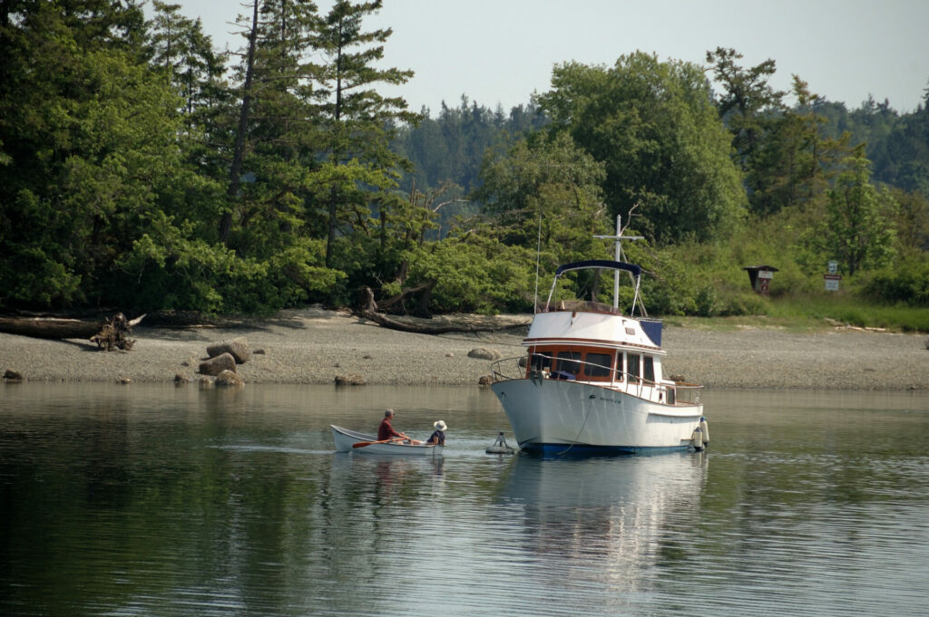 McMicken Island is a delightfully quiet anchorage.
Quartermaster Harbor, Vashon & Maury Islands
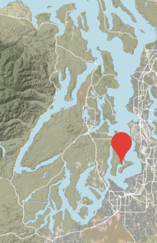
47.22’26” N, 122.27’18” W
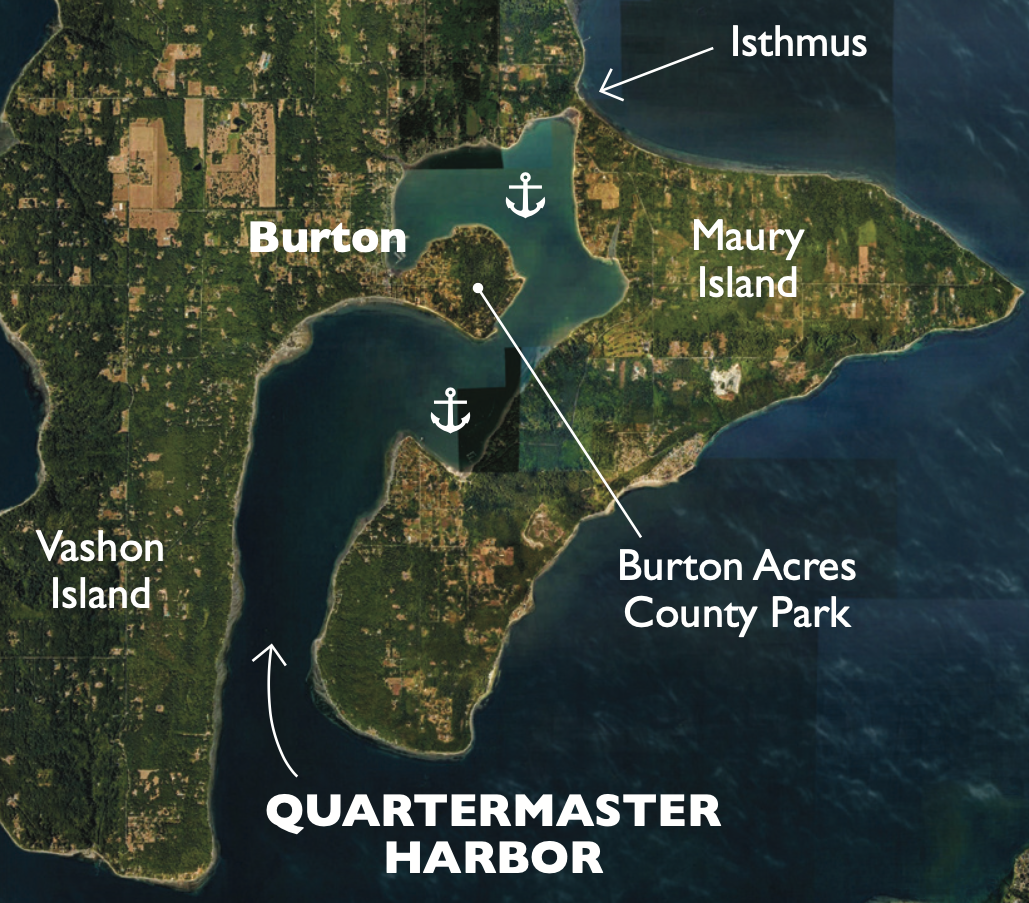
Quartermaster Harbor is located between the southern end of Vashon Island to the west and Maury Island to the east. A sand and pea gravel neck of land at Portage joins the two islands. This low isthmus was once a tombolo (a small island connected to the mainland by a narrow spit), where Indigenous people portaged their canoes from Quartermaster Harbor to the eastern shore of Tramp Harbor. The local First Nations consider this area a sacred place.
There is good anchorage throughout the harbour. Wind direction dictates where to anchor: Setting the hook off Dockton Park, located in the southeast portion of the bay, or in the northern reaches off the Quartermaster Marina, provides the best protection from a southerly breeze. The docks at the park were closed in May 2019 due to storm damage. The affected areas are closed indefinitely until such time that repairs and/or dock replacement can be completed. A small area of the main dock is open on a first-come-first-served basis. The park’s land facilities remain open.
In a northerly breeze the small basin to the north of Burton is a good location. At low tide the area shoals from the surrounding shoreline. It’s important to stay in the centre of the harbour when approaching this area.
Visitors who go ashore will discover Burton Acres Park with a beach, restrooms and hiking trails, and further up the road is the small island community of Burton.
At times, good crabbing can be had at the mouth of the harbour. We have pulled many crab omelets and dinners from this popular crabbing area.
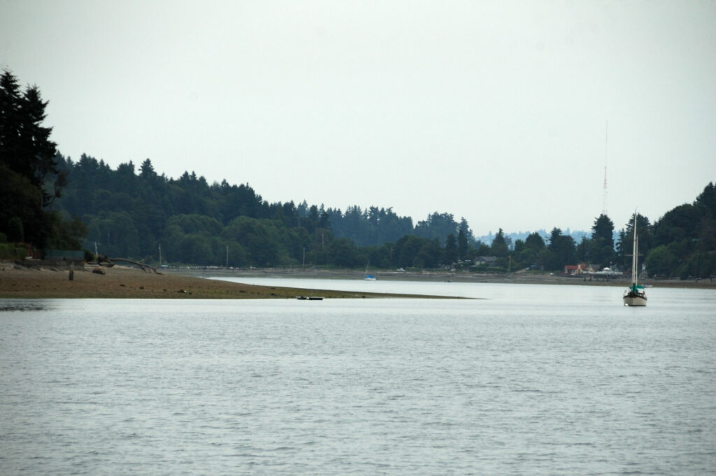 Small basin to the north of Burton, Quartermaster Harbor.
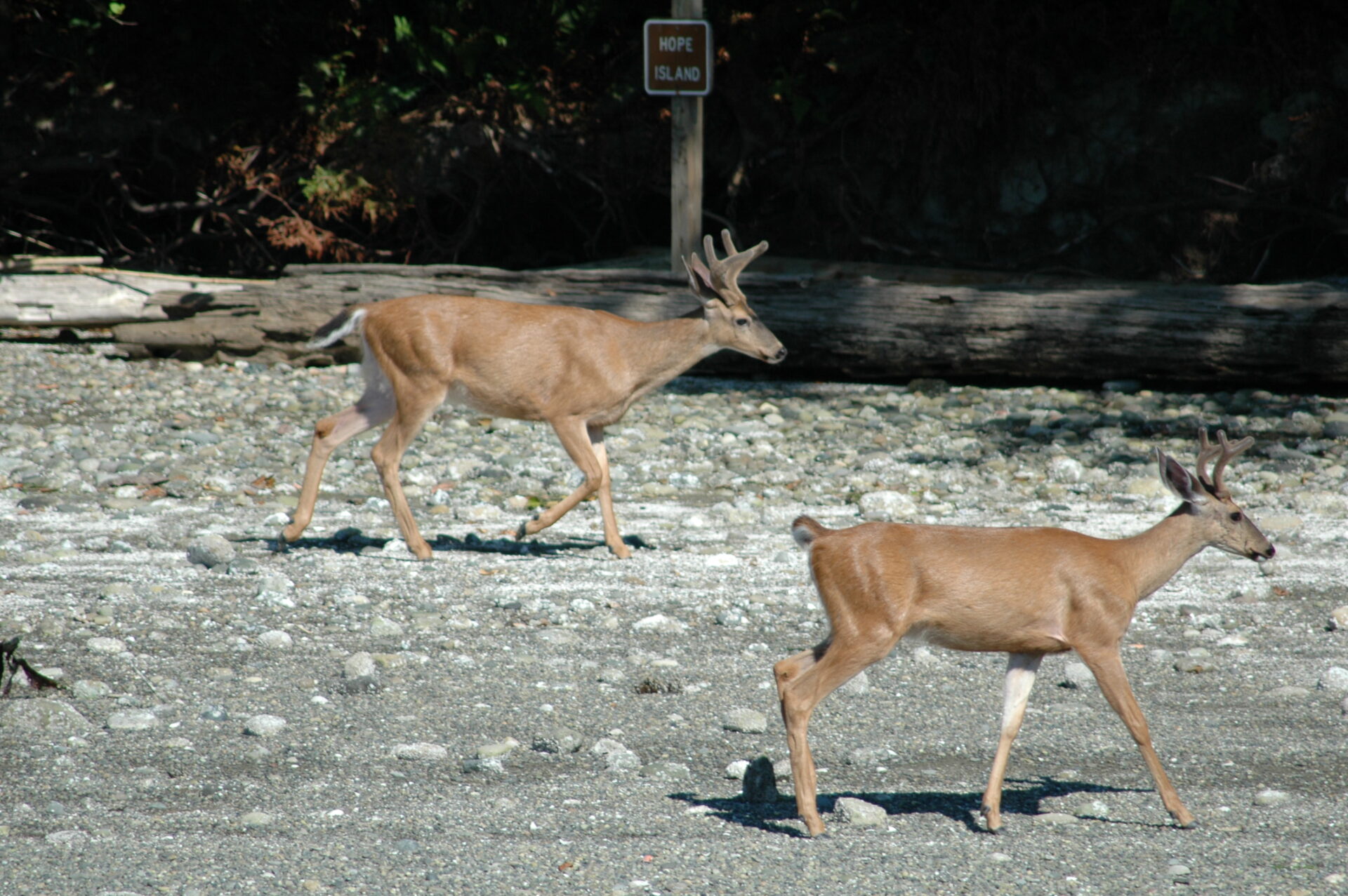
Hope Island, Squaxin Passage
47.11’08” N, 122.56’01” W
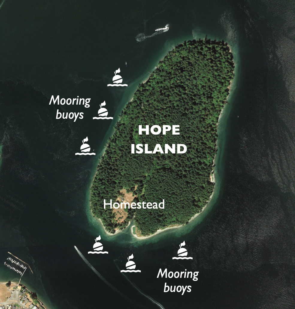
Located in the southern portion of Pickering Pass, between Squaxin and Steamboat islands, lies undeveloped and unspoiled Hope Island. Only a few miles from the hustle and bustle of the state capital of Olympia, the serenity of the island and surrounding waters make for a relaxing escape.
The 132-acre island is another Washington State Marine Park with a handful of mooring buoys, but if the buoys are occupied there is good holding in 20 to 25 feet of water off the southeastern shore. If unfamiliar with the area, a review of the chart is suggested, there are some shallows extending out from nearby Squaxin and the current runs swift at times.
Explore the island by hiking the well-maintained trails that crisscross the old-growth forest and stroll along the wonderful sand and gravel beach that frames the island on its south and west sides.
On the south end of the island is the homestead of the Louis Schmidt family, of Olympia Brewing fame. In 1943, the Munn family bought Hope Island and used it mostly as a vacation getaway. Upon their deaths, the island was donated to Washington State Parks. Today the well- home serves as the caretaker’s house. Visitors are welcomed to harvest fruits and nuts from the orchard planted by the Schmidt family over a century ago.
Hope Island is also a prized destination for mushroom gathering in the spring to early summer and again in the fall, when foragers harvest chanterelles, morels and oyster mushrooms under the island’s forest canopy.
One of our favourite pastimes when visiting the island is spending time trolling for sea-run cutthroat trout from the dinghy along the island shoreline. In Puget Sound, the cutthroat fishery is catch and release. We’ve experienced some very good fishing trolling small spoons or minnow flies in no more than eight feet of water at high tide. These feisty fish are a tremendous amount of fun on light tackle.
When You Go
Marine Weather Forecast: weather.gov/sew
Washington Department of Fish & Wildlife: wdfw.wa.gov
Washington State Parks: parks.wa.gov