

The Harmony Islands were in sight—four miles ahead with forest-clad Mount Calder (1,465 metres) providing a stunning backdrop. As we approached, we passed the impressive 427-metre Freil Falls, the gatekeeper of Hotham Sound. Its water cascades from hidden Freil Lake, near the mountaintop, down an almost sheer rock cliff face. This is one of the largest waterfalls on the Canadian West Coast and we were visiting in early summer when water flows are near their strongest.
The falls are approximately a mile southeast of the Harmony Islands. Once you drop anchor and settle in, you can dinghy or kayak to the falls to take in the beauty and thundering sound at your leisure.
HISTORY
Hotham Sound is the ancestral home to the Shíshálh Nation who continue to live throughout British Columbia’s Sunshine Coast. The Harmony Islands were named by Dr. Campbell Balmer, a Vancouver dentist who, with two friends, purchased the four islands in 1932 for $248. Every summer Balmer, with his family and friends, would cruise their boats to the islands. During the Second World War, when fuel was rationed, Balmer and his friends sold the islands. Portions of the island group became a provincial marine park in 1992.
The Harmony Islands Marine Provincial Park lies on the east side of Hotham Sound, north of Granville Bay. The park is limited to the southernmost island, the smaller northernmost island and most of the mainland foreshore nearby. The other islands are privately owned and visitors are asked not to trespass. The adjacent waters in the channel between the islands and the mainland are also within the park’s boundaries; the total park area is over 31 hectares.
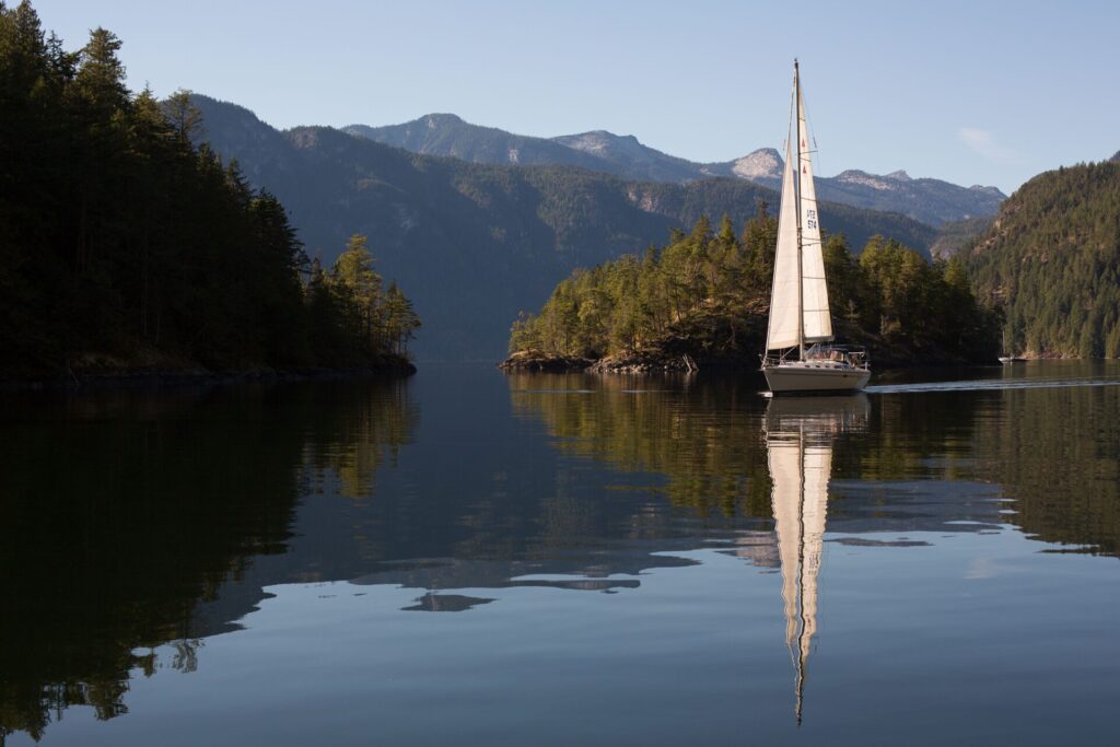 Ghosting over mirror-like water in the Harmony Islands.
ANCHORAGE
The park provides the perfect refuge for boaters and paddlers—a tranquil, bare bones gunkhole off the beaten path with no facilities and simply amazing marine scenery. The most sheltered anchorage is in the tiny basin (known locally as Kipling Cove) created by the natural formation of the three northern islands. The cove offers dramatic vistas, warm water swimming and safe anchorage. However, caution must be exercised when entering: charts show a rock in the middle of the entrance, which at low tide is covered by about a metre of water. Space is limited, so most boaters elect to tie a stern-line.
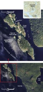 We entered the park by rounding the northernmost islands from the west. There was a boat anchored in a popular location, between the two most northern islands with a view of Kipling Cove off their stern, so we continued down the east side of the islands in the narrow channel that separates them from the mainland. It’s possible to anchor in this reasonably protected channel, but be sure to consult a detailed large-scale chart and beware of the shallows in the passage.
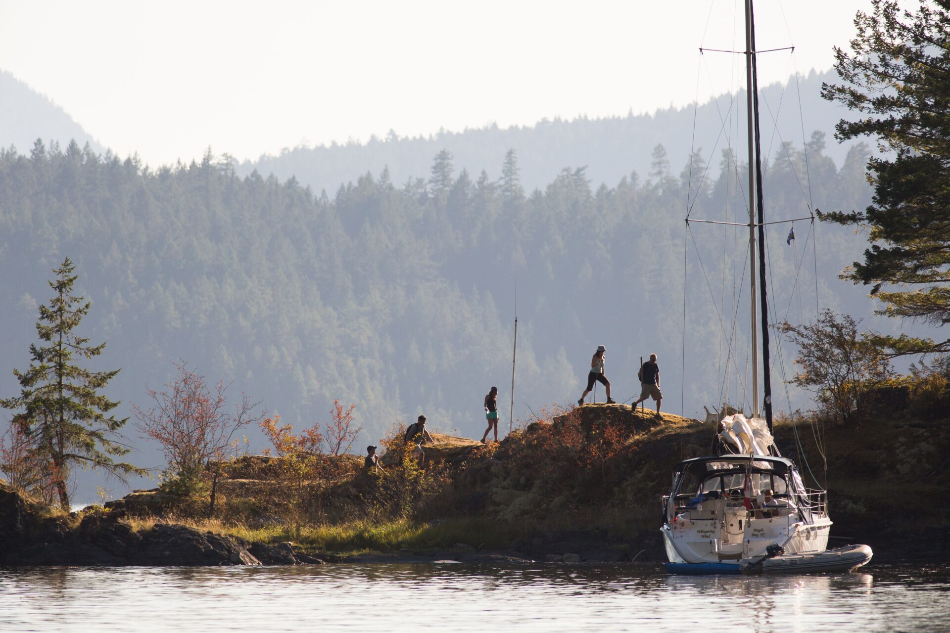
We discovered three boats anchored in Kipling Cove and a few more in the channel. We always look for seclusion so we continued south down the east side of the islands. Here we discovered a small nook on the southeast shore of the southernmost island and we decided to tuck Easy Goin’ in the nook with a sternline to shore.
PEACEFUL, EASY FEELING
Once we were secure in our peaceful and protected anchorage, we enjoyed lunch and took in the scenery, wildlife and views of nearby Mount Calder. Later, we dinghied to the oyster and clam-covered shoreline and explored the many tide pools, took photos and relaxed on the dried grass in the warm afternoon sun. At high water, the dinghy pass between the private islands is fun to explore. It also provides a convenient route to and from the southern and northern islands.
As the day drew to an end and the sun set, we settled in on the back deck in the warm evening air and watched the waxing moon rise over our private little island. It was a fitting close to a wonderful day.
WHEN YOU GO
Charts: 3514
BC Parks: bcparks.ca/harmony-islands-marine-park/
Location: Hotham Sound
Entrance:
Southern: N49.51.58, W124.00.67
Northern: N49.52.12, W124.01.07
Nearest Fuel & Provisions:
Backeddy Resort & Marina
backeddy.ca